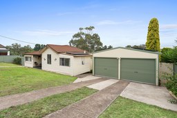
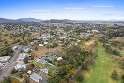
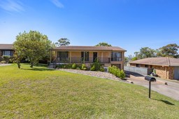
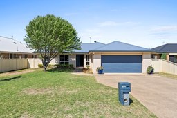
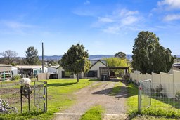
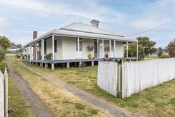
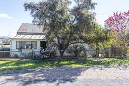
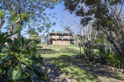
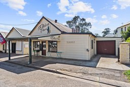
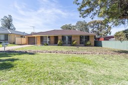
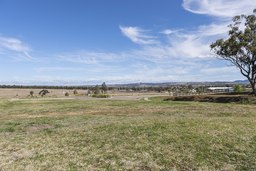
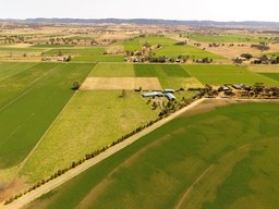
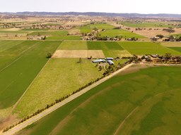
Situated in the midst of pastoral and agricultural countryside, Aberdeen is a small township located on the side of a hill beside the Hunter River between Muswellbrook and Scone. It is 273 km north of Sydney and 186 m above sea-level with a population of around 1 750.
The district about Aberdeen was once occupied by the Wanaruah people. Because few written records of Aboriginal Australia were kept it is difficult to make firm assertions about their lifestyle in pre-colonial Australia. However, it is known that the Wanaruah had trade and ceremonial links with the Kamilaroi people who may also have occupied the area.
The Wanaruah favoured goannas as a food source, covering larger animals in hot ashes and stuffing them with grass. They also adopted burning off practices as the new shoots which emerged after fire attracted kangaroos which they surrounded and killed with clubs and spears (du-rane) barbed with sharp stones. They also used stone axes (mogo) made of hard volcanic rock bound to a wooden handle. Another food source was lerp, a sweet, edible waxy secretion found on eucalyptus leaves and produced by the young of the psyllid (an insect) for protection. Lacerations were covered with wet clay or chewed eucalyptus leaves. As ironbark is slow to burn it was used as a transportable fire-stick while stringybark was used to make a twine employed in fishing and basket-making.
Government surveyor Henry Dangar, a central figure in the European investigation of the upper Hunter, camped here, by the river, in August 1824 during his first exploration of the district. He crossed the river, discovering Dart Brook and Kingdon Ponds (two tributaries) just to the north-west of the present townsite.
Later that year he returned and pursued Dart Brook to its source in the Liverpool Range but was attacked by the Geaweagal clan of the Wanaruah people west of present-day Murrurundi and returned to Sydney. After submitting a favourable report on the ‘rich alluvial land’ adjacent the two creeks he was back in a week with prospective settlers in tow.
In 1823, British MP, Thomas MacQueen, read a favourable report on the colony’s rural prospects. An advocate of transporting both capital and skilled workmen to the colony he invested in his own principles in 1825, sending to Australia stock, machinery, supplies, artisans, their families and overseer Peter McIntyre who chose the land around Aberdeen, naming MacQueen’s estate Segenhoe after MacQueen’s birthplace (Segenhoe Manor in Bedfordshire) and his own property Blairmore. However his claims conflicted with those of Dangar, whom McIntyre accused of improper and corrupt practices, thereby securing his suspension.
Segenhoe was a large property employing about 100 convicts. Being, at the time, near the northern edge of European settlement, it was used, in the 1820s, as a base for explorers such as Thomas Mitchell, Edmund Kennedy and Allan Cunningham. The latter followed Dangar’s route north from Dart Brook in 1827 and went on to ‘discover’ the Darling Downs and the overland route to the penal colony at Moreton Bay (the future site of Brisbane).
When MacQueens’ financial situation in England declined he moved to Australia, living at Segenhoe from 1834 to 1838. The value of his property was inflated when he persuaded the government to lay out the township of Aberdeen in 1838 by the river crossing. The town was named after MacQueen’s friend George Gordon, 4th Earl of Aberdeen. The name also reflects the preponderance of Scottish landowners who took up the early grants.
By 1840 an inn and a mill existed beside the river (both still exist). Residents from Murrurundi transported their grain to this site in the early days. There were 27 recorded residents in 1851 and by 1866 there were two churches, a post office, a lock-up, a school, three inns, some shops and a steam-driven mill. The railway arrived from Muswellbrook in 1870. In 1881 the population was recorded as being 36.
